Garmin Cycling Computers are Garbage, Part One: Hillcrest Routes
I use a Garmin cycling computer, the Edge 1030, and henceforth “the Garmin”. It is garbage. This post is “Part One” because, even though I have no additional specific content in mind, this shit is so garbage that I’m 100% confident I will have more to say on it eventually. I’m also hostage to sunk cost fallacy here and will continue to use it even though it’s garbage.
This post is specifically about selecting a route from the list of routes on the Garmin. Spoiler alert—it is garbage.
I have curated several routes that start at my apartment building, and have stored them on my Garmin. Whenever I go out, even just for a quick weekday evening ride, I need to choose one. The Garmin makes this terrible. It cannot render a legible image of a route on a map, let alone render a scrollable list of all the routes and their images. In fact, it cannot scroll through anything at all without abundant lag and anguish from it and me respectively.
This problem is made worse when I’m riding with friends and we’re working towards a group consensus of what route to do. In these situations I end up gathering what data I can from the list on the Garmin and describing the routes to my friends from memory. Not ideal.
So, this page will serve as a repository of the round-trip routes, starting from my apartment building, that I have curated. Then, my friends and I can view and choose the routes on more capable devices, minimizing the interactions with the Garmin, which by the way, is garbage.
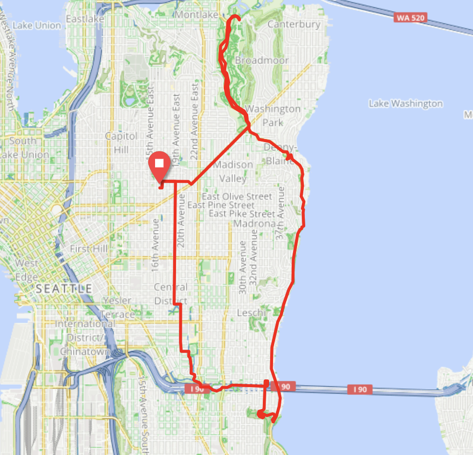
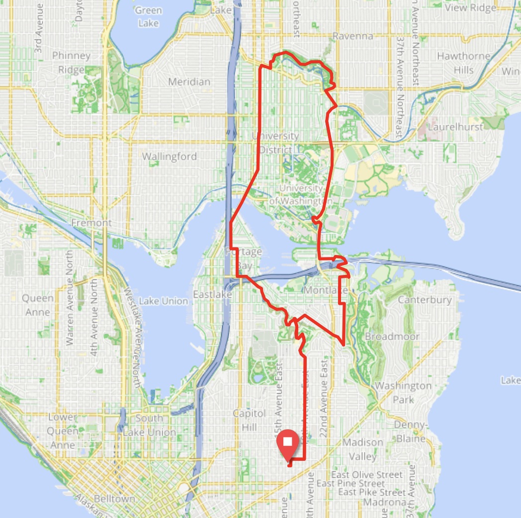
The routes, shortest first:
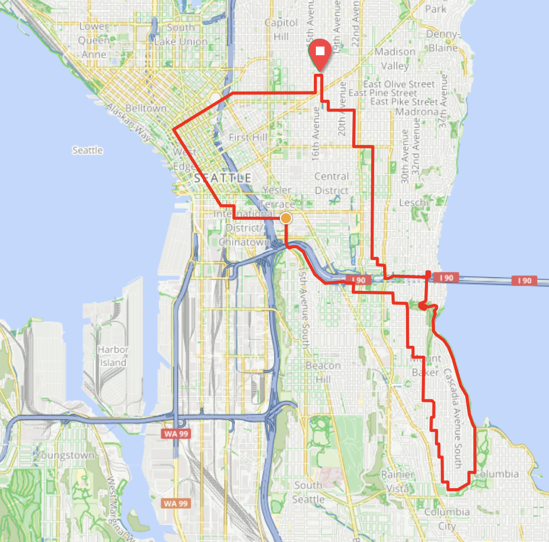
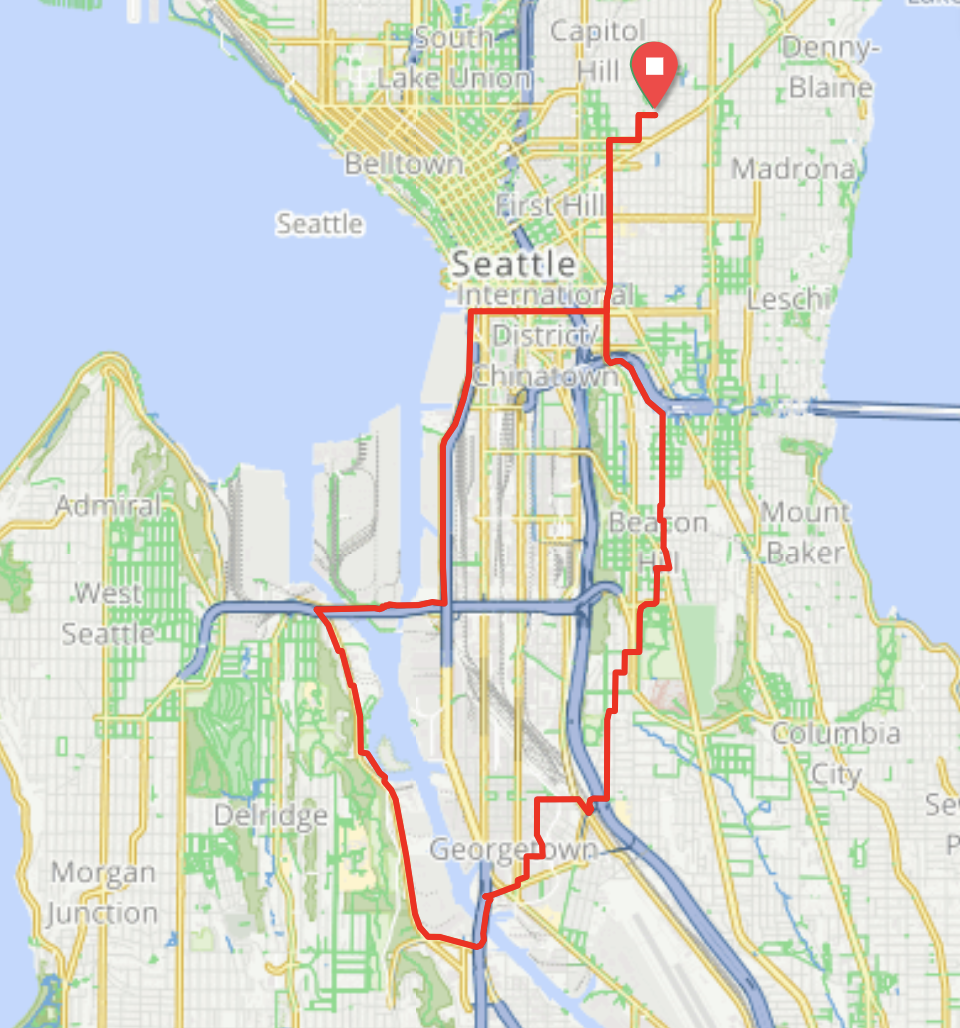
HC20S-Healthy Streets-Chief Sealth
20.1 miles, +1302 feet
When not on Chief Sealth, this route is almost entirely on Stay Healthy Streets.
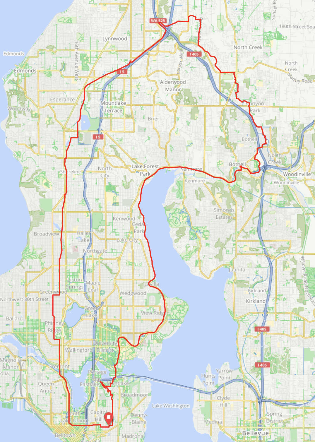
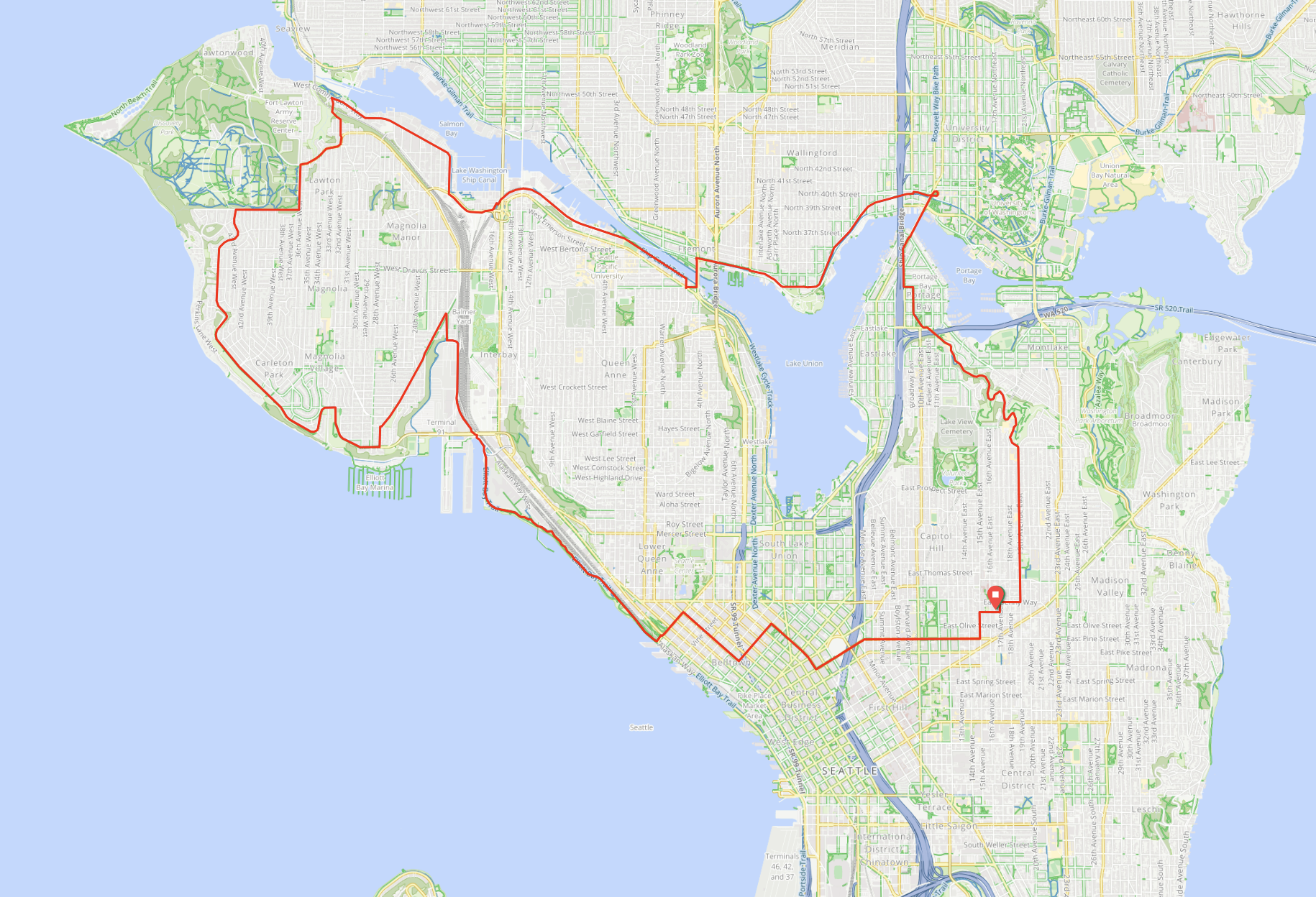
48.2 miles, +1869 feet
This route is probably my favorite in the 40-50 mile range. After the Fremont Ave N climb, there are over 15 miles on mostly flat neighborhood boulevards and bike paths following the highway. Then you’re finally rewarded for that initial climb with smoothly paved suburban descents, wooded paths, and mountain glimpses. From Bothell it follows the Burke-Gilman. At mile 29 there are Starbucks, Potbelly, froyo and sushi joints. On 2020-08-22 there was a porta-potty at mile 31.8, right after Blythe Park, which currently has its bathrooms locked for the pandemic.